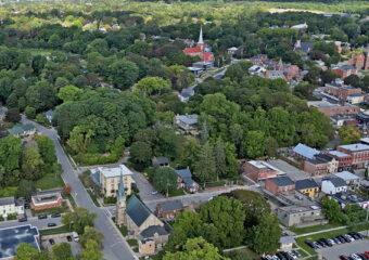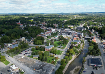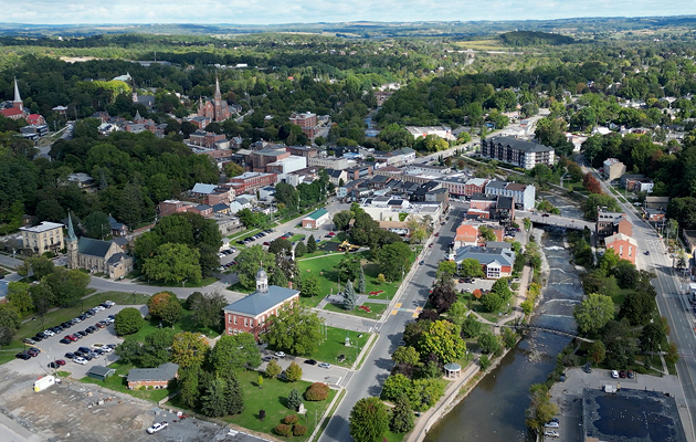
To support Port Hope Area Initiative activities, our team will be performing topographical surveys using LiDAR technology across Port Hope.
LiDAR collects distance measurements using a drone, with a 3D map generated. This is used to facilitate engineering designs as well as drainage and grading analysis. The system does not capture visual details of homes, yards or people.
The drone may be seen approximately 200-300 feet in the air and will not hover over private properties. The work is expected to be completed during the final week of May 2026.
Canadian Nuclear Laboratories is committed to the safety of the public, its workers and the environment while undertaking this community-requested solution to a longstanding environmental issue.